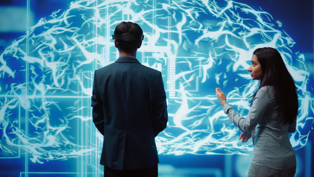
At CODA, we don’t just monitor your assets – we empower you to optimize them in real time. Powered by Digital Twins technology, our solutions provide a 360° view of your assets, helping you predict, prevent, and resolve issues before they become costly.
From real-time data integration to predictive analytics, we elevate asset management to the next level, improving operational efficiency and reducing downtime across industries like Oil & Gas, Manufacturing, and Marine.
1. Digital Twins Data & BIM Maturity Assessment of your data infrastructure.
2. Data Discovery Report by identifying gaps and optimization opportunities.
3. Designing a tailored Digital Twin solution.
1. Geodatabase Enhancement & Integration for your data to be seamless and usable.
2. Ultra-High-Quality 3D Models for accurate representations of your assets.
We deploy and test your custom Digital Twin platform with your existing systems to meet your operational goals.
1. Asset Performance Monitoring in Real-time for updates on your assets.
2. Integrated, synchronized, efficient marine operations.
3. Environmental Monitoring by tracking sustainability and compliance.
1. We analyze the results and scale your Digital Twin for full implementation, ensuring real ROI.
2. Expanding across your organization.
CODASOL presents state-of-the-art reality capture solutions designed to enhance efficiency, safety, and operational effectiveness. Our advanced technologies—including LiDAR, aerial capture, and photogrammetry—empower organizations to create accurate digital replicas of their assets, enabling informed decision-making and streamlined processes.

Reality capture technologies enable quick and accurate data collection regarding measurements, conditions, and dimensions, leading to reduced time on-site and fewer errors, ultimately boosting project efficiency and mitigating risks.
With 3D visualization and analysis, decision-making becomes faster and more informed. This approach reduces rework, enhances project outcomes, and streamlines workflows, increasing overall productivity.
Reality capture allows for remote inspections and management, minimizing exposure to hazards. This innovative method enhances safety by reducing reliance on traditional, risky practices.

Our Engineering Point Cloud service is tailored for design, fabrication, decommissioning, and back-modeling to meet Level of Development (LOD) 300 standards. Utilizing engineering-grade laser scanning, we ensure unparalleled accuracy in construction and Building Information Management, allowing your projects to proceed with confidence.
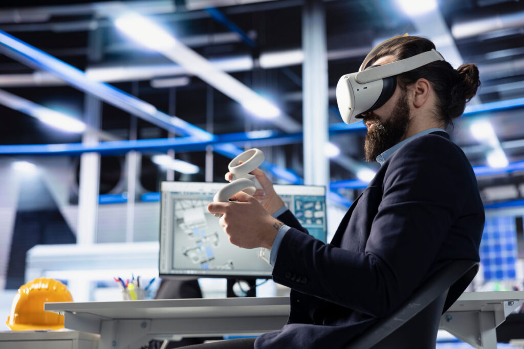
Introducing the Digital Twin Lite—an innovative solution formed from our Engineering Point Cloud combined with external/aerial photogrammetry and geometry. This versatile digital twin supports collaboration, visual inspection, engineering design, work pack development, decommissioning, management of change, shutdown simulation, and project delivery planning. It’s designed to enhance communication and streamline your project workflows.
For more advanced applications, our Digital Twin HD integrates internal or terrestrial photogrammetry and geometry, offering an upgraded experience from the DT Lite. This high-definition digital twin is ideal for close visual inspection, comprehensive engineering design, work pack development, and management of change. It also supports integration with AI, OCR, and Machine Learning technologies, making it a powerful tool for modern engineering challenges.
Aerial Photogrammetry provides a precise and safe method for inspecting large areas or hazardous infrastructure with unmatched accuracy. By utilizing aerial images, this technique eliminates the need for rope access and foot inspections, giving you a comprehensive view of your assets while enhancing safety and efficiency.
Our Ground Mobile Scanning solution offers a cost-effective and efficient way to survey sites for project planning, work pack development, walkthroughs, non-fabrication grade construction, and inductions. With detailed point cloud data captured to within ±7mm and 360-degree images, this method provides valuable context for your surveys.
The combination of Aerial and Ground Laser Scanning delivers a complete picture of your site in less than half the time. Covering both internal and external infrastructure with a remarkable accuracy of 10mm, this solution is ideal for large-scale projects, facilitating cost-effective capture for planning, work pack development, shutdown planning, contractor access, walkthroughs, and site inductions.
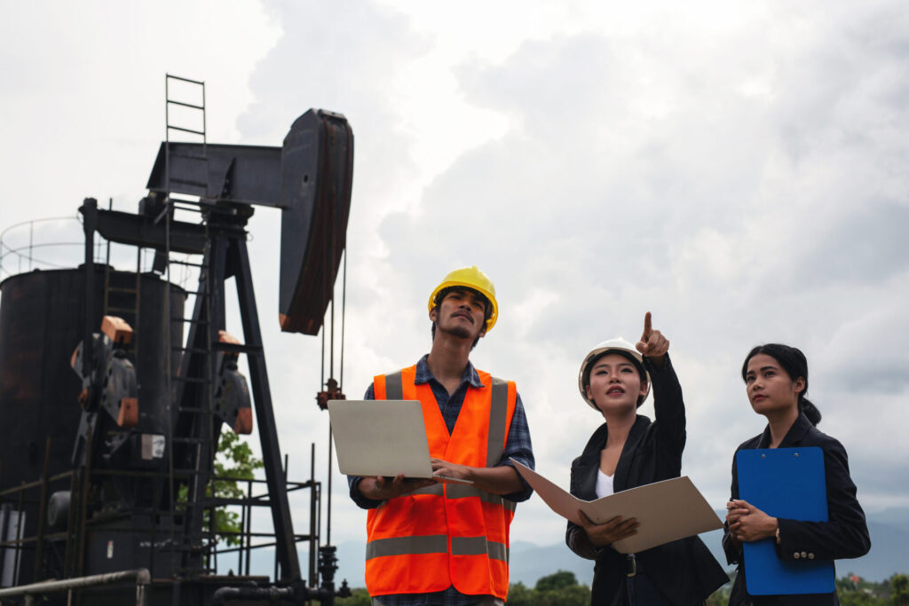
Digital twins—virtual replicas of physical assets—are transforming how the oil and gas industry manages its complex and often remote infrastructure. Created through a combination of laser scanning, LiDAR, and photogrammetry, digital twins provide engineers with real-time, 3D models of platforms, pipelines, and facilities, enabling remote monitoring and management.
Digital twins offer precise, up-to-date models of aging assets, allowing for safer and more efficient planning of decommissioning activities. They help simulate potential risks, reducing operational downtime and safety hazards.
Engineers can remotely inspect and monitor the integrity of their assets, spotting early signs of wear, corrosion, or damage. This proactive monitoring helps prevent failures, minimizing costly unplanned shutdowns.
Digital twins support new projects by allowing for accurate simulations, designs, and work-pack development. For asset replacement or upgrades, the twin enables engineers to visualize exactly how new components will integrate with existing infrastructure, reducing errors and delays.
By using digital twins to optimize operations, companies can minimize the need for on-site personnel, reducing emissions from travel and improving safety. They also enable better resource management, optimizing energy use and reducing waste during operations and decommissioning projects.
Our Digital Twins-powered Asset Monitoring Solution isn’t just about monitoring – it provides insights that drive smarter, more efficient operations.
Our expert analysis offers actionable recommendations to improve data quality, streamline processes, and ensure compliance with industry standards. Equip your organization with a clear understanding of your data’s health, driving informed decisions and strategic growth.